City: Dallas, TX
Neighborhoods: West Dallas, Downtown
Distance: 9.0 miles
There are great trails in Dallas to run for long-distance, but the closest to the Downtown area is the Trinity Skyline Trail.
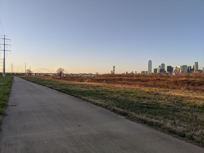
The trail runs on both sides of the Trinity River for 8.2 miles, passing the Design District, Trinity Groves and Downtown Dallas. This route is a total of 9.0 miles that will bring you back to your starting point at Continental Bridge Gateway Plaza. (If you’re looking for a shorter run where you can see same skyline views on the pedestrian bridge, check out this post. Otherwise, keep reading!)
On the route you’ll see other long-distance runners and cyclists, but the majority of the run will be quiet. You’ll have plenty of distance between you and other runners.
One note: If you have good off-road running shoes, please bring them. There are parts along the trail with rough gravel.
Directions
Want the map for this route?🗺️
Want to run it live on your favorite app?🏃♂️
Subscribe to the blog and I’ll email you the password for all Running Nomad map routes!
You’ll get map links to: Strava, Garmin Connect, and MapMyRun.
Scroll up to the subscribe button on the right☝️ (or scroll down if you’re on mobile)📱👇.
- Start at the Continental Bridge Gateway Plaza
- Head north on the Trinity Skyline Trail
- Cross over the river under the Sylvan Ave bridge
- Run south on the Trinity Skyline Trail for 3.2 miles
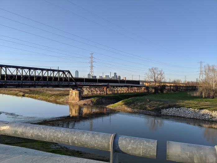
- Run back across the Trinity River via the Santa Fe Trestle Trail
- Head north on the westside of the Skyline Trail
- Finish at Continental Bridge Gateway Plaza
The Run
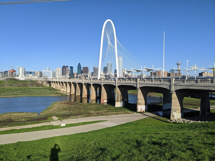
Start at the Continental Bridge Gateway Plaza. Move north on the trail, then cross over the river by moving under the Sylvan Ave Bridge.
You’ll run through Trammell Crow Park before making your way south on the trail. Get a quick photo with the park cow sculptures!
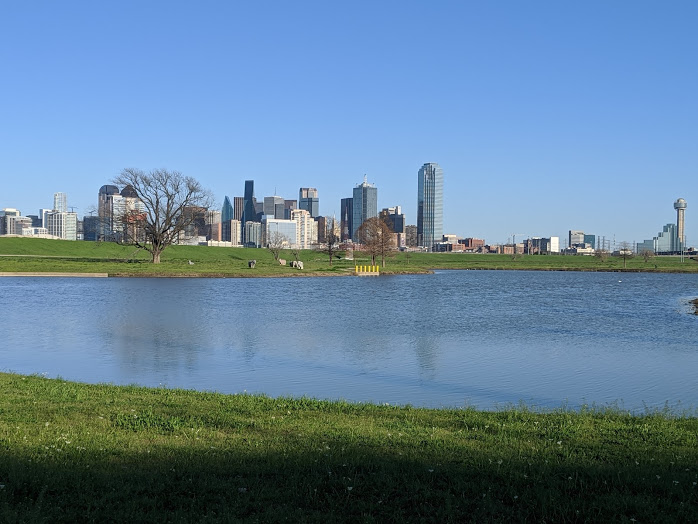
Keep heading south for 3.2 miles on the Skyline trail until you hit the Santa Fe Trestle Trail east entrance, passing under bridge after bridge (and a few train tracks).
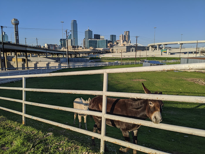
Along the way you’ll see downtown views, graffiti art, and a small livestock attraction. Fuel City, a popular gas station in Downtown Dallas, has livestock for the public to admire.
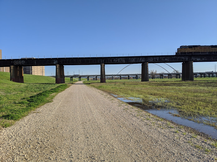
Use the Santa Fe Trestle Trail to get back over the Trinity River. Head north on the west side of the river for 3.0 miles via the Trinity Skyline Trail to end up right where you started!
