City: Dallas, TX
Neighborhoods: Kessler
Distance: 3.0 miles
Coombs Creek Trail is a 1.5 mile trail that moves through Kessler Park. The park is sandwiched between I-30 and the Kessler neighborhood, a quiet residential area of West Dallas.
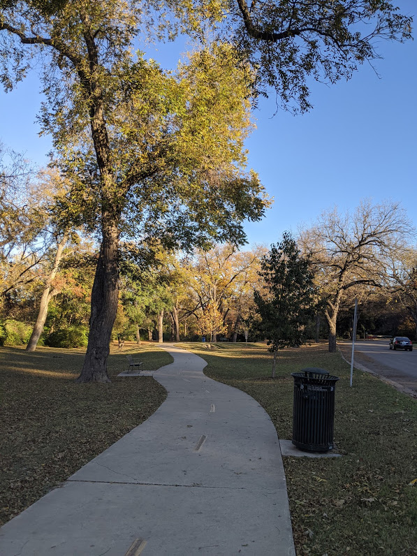
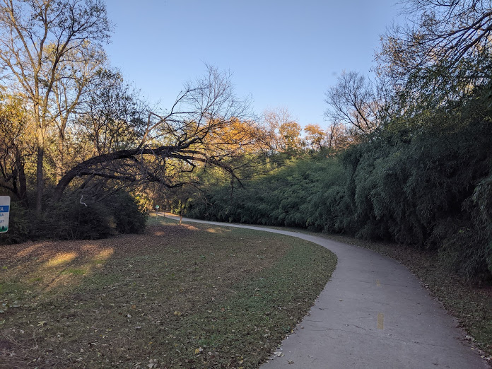
This route covers 3 miles, moving one way 1.5 miles and back. On your run you’ll see trees, the beautiful homes on Kessler Pkwy, and a great view of the city.
You’ll also see a lot of the Kessler residents out running, connecting the trail to the rest of their neighborhood route.
Happy running!
Directions
Want the map for this route?🗺️
Want to run it live on your favorite app?🏃♂️
Subscribe to the blog and I’ll email you the password for all Running Nomad map routes!
You’ll get map links to: Strava, Garmin Connect, and MapMyRun.
Scroll up to the subscribe button on the right.☝️
- Start at Kessler Pkwy and N Edgefield Ave
- Move east on Coombs Creek Trail
- Run up the hill at the end of the trail
- Head back to your starting point
The Run
Start your run at the corner of Kessler Pkwy and N Edgefield Ave near the tennis courts. You can park on the street here. Start moving east on Coombs Creek Trail running alongside Kessler Pkwy.

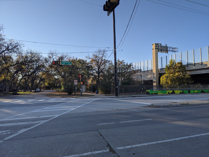
A little over half a mile in you’ll hit Sylvan Ave – you’ll have to cross the street to continue onto the trail. It’s a busy road so look both ways!


You’ll run into a road barrier at the 1 mile marker – run towards it and you’ll see where the trail continues. That barrier is just for cars:)


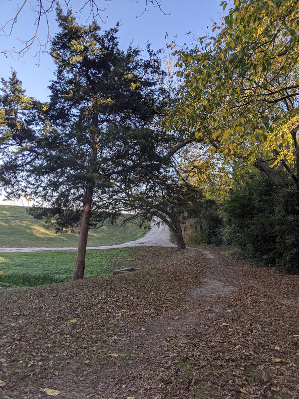
Keep running until you meet the end of the route. To get a quick view of the Dallas skyline run up the hill at the trail’s end.


When you get your selfie, head back to your starting point to make 3 miles.
Pro tip: The Kessler neighborhood is one of the more hilly areas of Dallas. If you want a challenge, go end your run with hill sprints on one of the uphill streets.


